<body><script type="text/javascript"> function setAttributeOnload(object, attribute, val) { if(window.addEventListener) { window.addEventListener('load', function(){ object[attribute] = val; }, false); } else { window.attachEvent('onload', function(){ object[attribute] = val; }); } } </script> <div id="navbar-iframe-container"></div> <script type="text/javascript" src="https://apis.google.com/js/platform.js"></script> <script type="text/javascript"> gapi.load("gapi.iframes:gapi.iframes.style.bubble", function() { if (gapi.iframes && gapi.iframes.getContext) { gapi.iframes.getContext().openChild({ url: 'https://www.blogger.com/navbar.g?targetBlogID\x3d6651501\x26blogName\x3dNotes+on+tech\x26publishMode\x3dPUBLISH_MODE_BLOGSPOT\x26navbarType\x3dBLACK\x26layoutType\x3dCLASSIC\x26searchRoot\x3dhttps://ypjain-notesontech.blogspot.com/search\x26blogLocale\x3den_US\x26v\x3d2\x26homepageUrl\x3dhttp://ypjain-notesontech.blogspot.com/\x26vt\x3d-1979808972264517134', where: document.getElementById("navbar-iframe-container"), id: "navbar-iframe" }); } }); </script>

Notes on tech

Notes on technology, business, enterpreneurship, economy, markets along with interesting general tidbits.


Google 3D mapping truck

6/08/2005 11:25:00 PM, posted by anand

SiliconValleyWatcher reports on Google's plan to create 3D online version of San Francisco, and eventually other major US cities.
The trucks would drive along every San Francisco street using the lasers to measure the dimensions of buildings, to create a 3D framework onto which digital photos can be mapped. This would complement the mostly top-down view of San Francisco available through Google's Keyhole satellite photo application.

The goal is to create similar 3D online versions of other cities in the US and overseas.

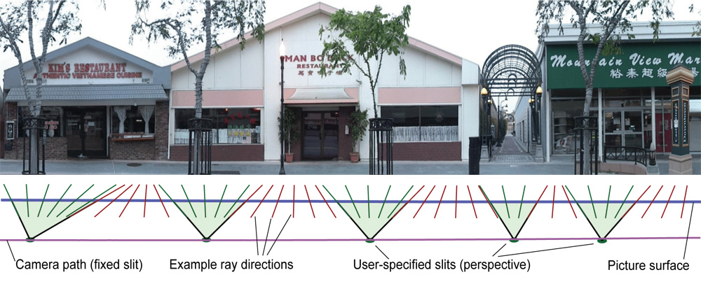
Here is a Google funded Stanford CityBlock Project
« Home

» Post a Comment